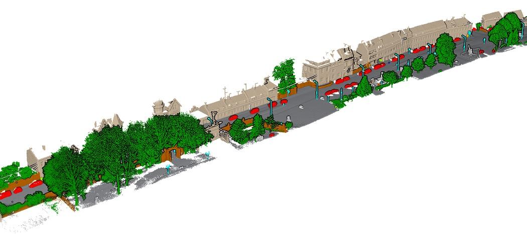
Cities would benefit greatly from being able to identify and catalog objects within the urban and built environments, whether it be for the purposes of guiding autonomous vehicles through haphazard urban streets or the preservation of the architectural heritage of the city. Ever evolving and advancing LiDAR technologies – such as terrestrial or aerial sensing – offer the potential for the realization of such endeavors. Researchers and data scientists have approached analyzing LiDAR data for the specific purpose of urban object segmentation and classification with various methods, most notably machine and deep learning.
Urban object segmentation and classification using artificial intelligence requires a deeper look into the varying methods and techniques. Machine learning can comprise multiple algorithms while three-dimensional LiDAR point cloud data offer a plethora of features from which to learn. Deep learning as well can be separated into numerous different network architectures. Before one can create an automated process of inventorying the built environment using LiDAR point cloud data and artificial intelligence, one must select the best method – where best can be measured by varying metrics such as computational efficiency or final accuracy.
Project Github